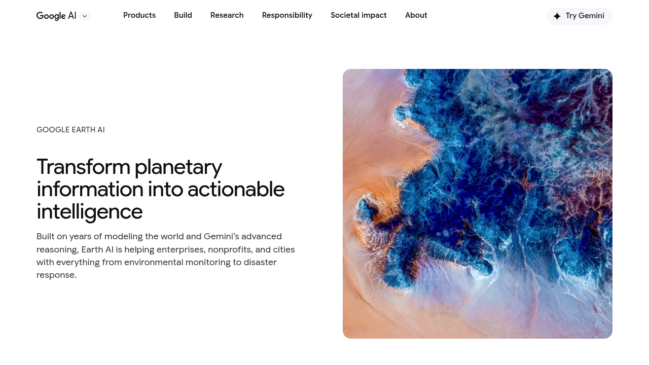
Google Earth AI is a set of geospatial AI models that turns planetary information into actionable answers. The models are used in Google Earth, Google Maps Platform and Google Cloud, so you can ask a question in plain language and receive an answer based on imagery and map data. Sample questions include where the storm drains are within 50 meters of public schools in a Brooklyn neighborhood, and which global mangrove forests resemble those in the Mekong delta.
The work targets enterprises, governments, nonprofits and cities that need to understand large areas quickly. Satellite providers such as Planet Labs and Airbus use Google's Remote Sensing Foundation Models in a trusted tester program for object detection and image search through natural language. Consultancies, marketing groups and hospitals including WPP, Deloitte and Boston Children's Hospital use the models for multi-dimensional problems. Insurers, relief organizations and public health teams use predictions to decide where to act first, and the work moves analysis that once took years of iteration into minutes.
Documented examples span environmental monitoring, disaster response and public health. Bellwether, an X moonshot, gives the broker McGill and Partners predictive analysis of property damage before a storm so claims are paid faster. GiveDirectly uses Google Flood Hub for anticipatory cash assistance ahead of floods. Researchers can examine cholera risk by community, compare mangrove ecosystems, or track deforestation risk, and Weather Lab explores how AI can predict the path and intensity of cyclones. AlphaEarth Foundations maps the planet in detail, and geospatial analytics are available on Google Cloud's agent platform for teams building their own solutions.