
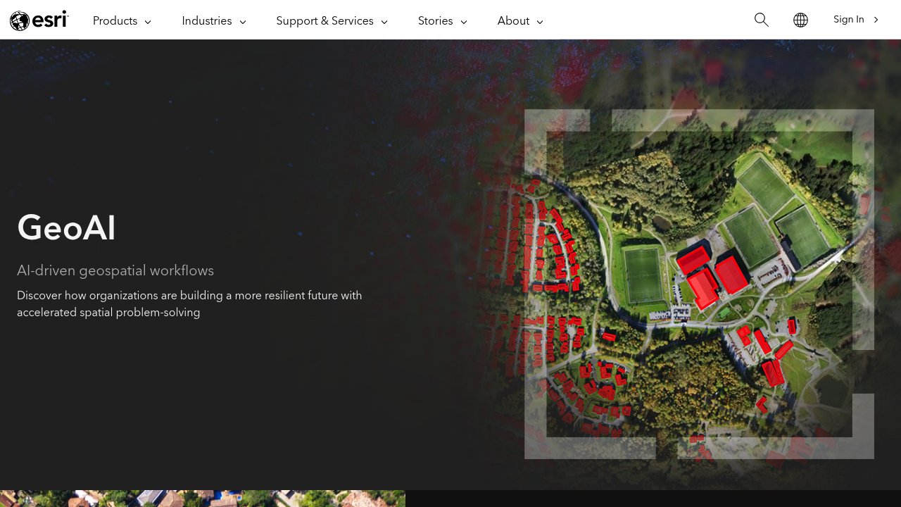
ArcGIS GeoAI is Esri's term for applying artificial intelligence to geospatial data within the ArcGIS ecosystem. Two main capabilities are described: deep learning that extracts, classifies and detects information from imagery, video, point clouds and text, and machine learning for predictive analysis, where spatial algorithms detect clusters, calculate change, find patterns and forecast outcomes. The aim is to automate data generation, improve data quality and consistency, and shorten the time to situational awareness. It is part of Esri's enterprise mapping and analytics platform rather than a standalone product.
The audience is GIS professionals and the organizations that rely on location data: state and local governments, natural resource managers, utilities, telecommunications providers, transportation agencies, conservation groups and public safety teams. Analysts who currently digitize features by hand gain automation, and decision makers gain predictions grounded in spatial patterns. It assumes an existing ArcGIS environment such as ArcGIS Online, ArcGIS Pro or ArcGIS Enterprise.
Examples given for GeoAI include extracting buildings and roads from aerial imagery to identify people and infrastructure at risk from landslides, modeling the effects of urban development, forecasting road and infrastructure deterioration, identifying land-use change such as new buildings, optimizing crop yields, speeding emergency response and inspecting assets. Video and sensor feeds can be monitored to analyze events and entities as they happen, supporting quicker responses and more proactive decisions across industries such as agriculture, utilities and community safety. Because the capability is built on the ArcGIS platform, results can feed the maps, dashboards and workflows an organization already maintains.