
Google Earth Engine logo

Google Earth Engine

Google Earth Engine is a platform that pairs a multi-petabyte catalog of satellite imagery and geospatial datasets with planetary-scale analysis, running on Google's cloud infrastructure.

Users detect changes, map trends and quantify differences on the Earth's surface using the Earth Engine API in Python or JavaScript, or a web-based code editor for interactive algorithm development. The public archive…

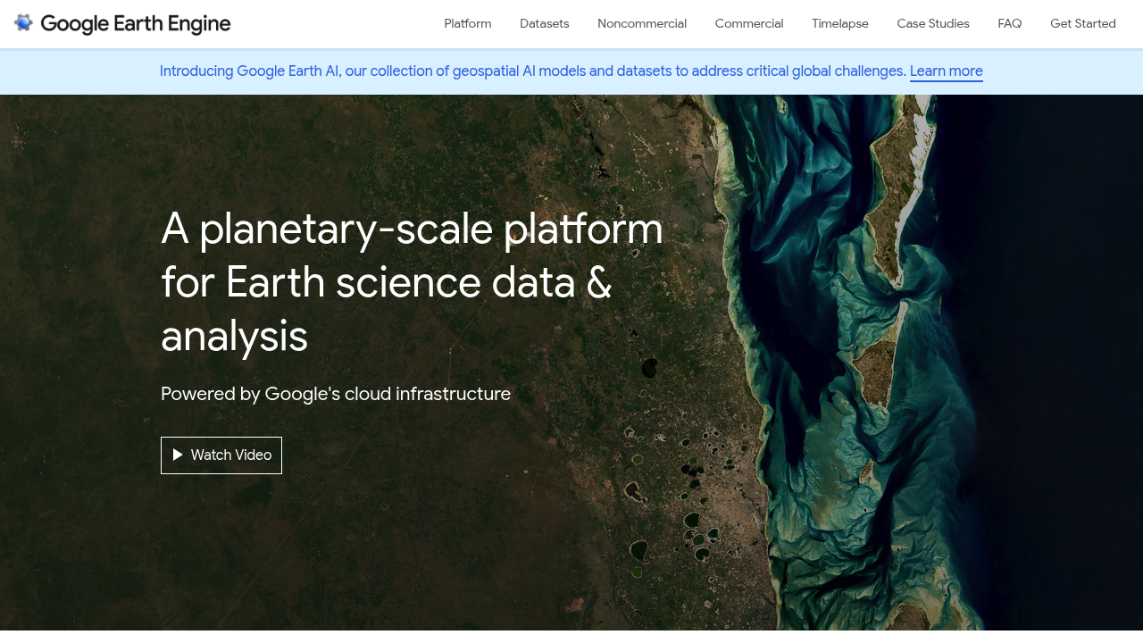
Google Earth Engine screenshot

Google Earth Engine is a platform that pairs a multi-petabyte catalog of satellite imagery and geospatial datasets with planetary-scale analysis, running on Google's cloud infrastructure. Users detect changes, map trends and quantify differences on the Earth's surface using the Earth Engine API in Python or JavaScript, or a web-based code editor for interactive algorithm development. The public archive holds more than thirty years of imagery and over eighty petabytes of data, updated daily. A Satellite Embedding Dataset built with the AlphaEarth Foundations model packs a year of multi-source data into every 10m pixel. Earth Engine is free for academic and research use and is also available for commercial use.

It is built for scientists, academic researchers, remote sensing specialists, geospatial developers and non-profit teams who need to process large imagery collections without managing their own infrastructure. Users should be comfortable writing code, since analysis happens through scripts and the API. Organizations such as Global Forest Watch and the World Resources Institute are cited as examples of groups that rely on it.

Use cases include tracking tree cover change at high resolution, remote sensing research, predicting disease outbreaks, and managing natural resources. Researchers run their own algorithms over decades of satellite imagery to compare conditions over time, while humanitarian and conservation groups map trends in land use and environmental health. Developers can build geospatial applications on the API and use ready-to-use datasets instead of collecting and cleaning imagery themselves. Analysts working with the Satellite Embedding Dataset can feed analysis-ready, deep-learning-derived features into mapping and classification tasks.

Google Earth Engine alternatives

See all →

Frequently asked

6 questions
What does Google Earth Engine do?
It combines a huge catalog of satellite imagery and geospatial datasets with cloud-based analysis. Users detect changes, map trends and quantify differences on the Earth's surface.
Who uses Google Earth Engine?
Scientists, researchers, developers and non-profits use it for remote sensing and environmental work. Global Forest Watch is one cited example, built on its ability to process satellite imagery rapidly.
What kind of analysis can I run with it?
Examples include identifying where and when tree cover change occurred, predicting disease outbreaks and managing natural resources. You write your own algorithms against datasets spanning more than thirty years.
Is Google Earth Engine free?
Academic and research use remains free. Commercial use is now available as well.
What skills do I need to use Google Earth Engine?
Analysis runs through the Earth Engine API in Python or JavaScript, or through a web-based code editor. Programming familiarity is therefore expected for most workflows.
What data does it include?
The public archive holds more than eighty petabytes of data and over thirty years of historical imagery, updated and expanded daily. It also offers the Satellite Embedding Dataset based on the AlphaEarth Foundations model.

Reviews (0)

Write review

No reviews yet. Be the first to share your experience.