
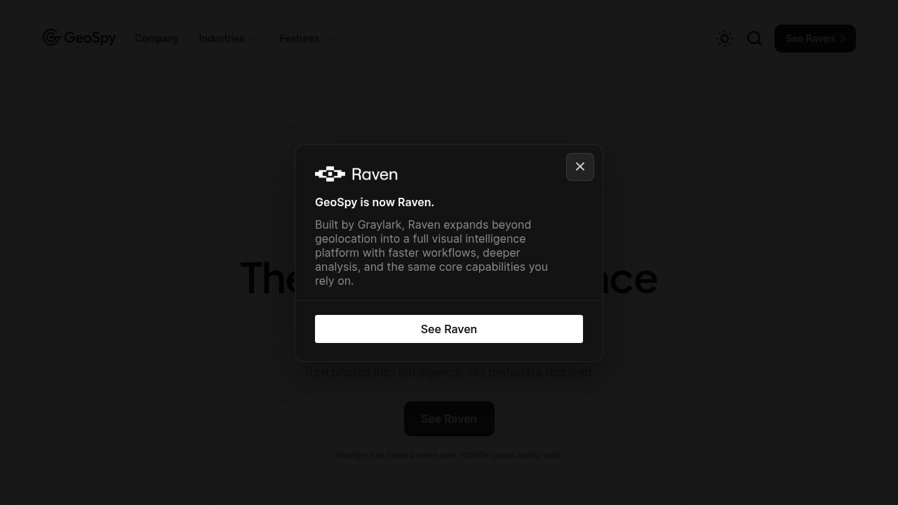
GeoSpy is an AI visual intelligence platform that works out where a photo was taken using only the pixels in the image, with no metadata needed. Its geo-estimation models turn low-context pictures into location leads, and the company says accuracy can reach meter level when models are tuned for a specific city or country. The software has a simple interface and includes precision targeting and property targeting modes. Access is offered to qualified government and enterprise organizations under a license.
The product is made for law enforcement officers, intelligence and government analysts, and enterprise security and investigation teams. Detectives and open-source intelligence specialists use it when they have a photograph with no GPS data, no captions and no obvious landmarks. Trust and safety teams, insurers and corporate investigators in large organizations can apply the same models to verify where an image came from. Because it is restricted to vetted buyers, individuals and hobbyists are not the intended audience, though a demo is available to try.
A published case study describes how AI helped catch a fugitive in 20 minutes, and GeoSpy says it has helped solve more than 10,000 cases worldwide. Investigators use it to determine the location of suspects from photos recovered during a case, and to narrow search areas for missing persons or crime scenes. Analysts can feed a low-context image and receive an estimated location within seconds, then confirm it with other evidence. Property targeting helps pin down a specific building, and city or country models improve precision for agencies working in a defined jurisdiction.