
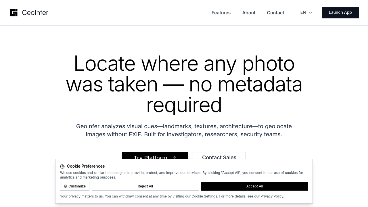
Mobile support isn't mentioned anywhere. That feels telling for a tool analyzing photos. You'd expect phone compatibility since that's where most photos live these days.
Photos tell stories about location even when GPS data gets stripped away. GeoInfer reads visual clues — buildings, landscapes, street signs — to figure out where images were taken. The global model gets you within 1km to 100km of the actual spot. Custom regional models can pinpoint locations down to meters.
Insurance fraud investigators would find this useful when someone claims their car was damaged in Location A but the photo shows landmarks from Location B. Batch processing handles thousands of images at once. Beats analyzing them one by one.
The public beta runs without an account. Just upload and wait for results. Enterprise clients get custom models trained on specific regions plus audit trails and data retention policies. Accuracy depends heavily on how much reference imagery exists for an area. Dense urban locations work better than remote countryside.
GeoInfer targets law enforcement, government agencies, and investigators rather than casual users. The SOC 2 certification path suggests they're serious about enterprise security. Air-gapped deployments and on-premise options show they understand sensitive data requirements.
It works in places where Street View doesn't exist. That gives it an edge in rural or restricted areas. Still in beta though. Expect some rough edges.